- Give us a call 91+ 7303932706
- Send us an email raju.bista@sansad.nic.in rajubistabjp@gmail.com
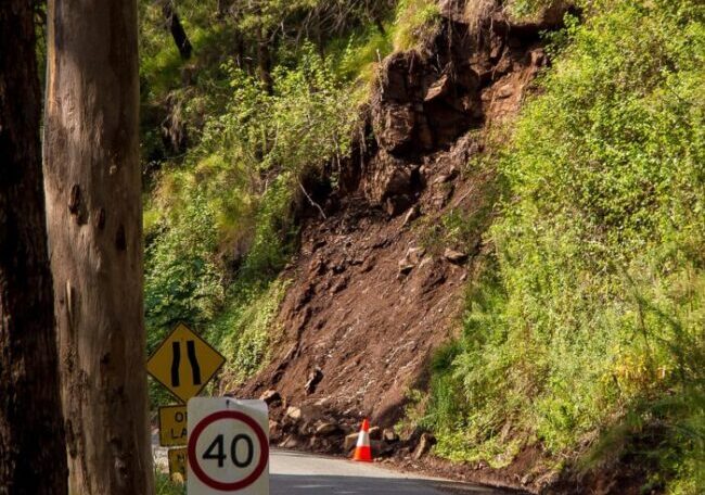
In reply to a question asked by the Darjeeling MP Raju Bista regarding landslide control measures taken in Darjeeling and Kalimpong, the Jal Shakti Ministry responded informing that the Indian Space Research Organisation (ISRO) had done landslide mapping through its Seasonal Landslide Inventory Mapping Program (SLIM). Utilizing advanced remote sensing techniques, ISRO conducted landslide mapping for the post-monsoon seasons in 2014 and 2017.
According to the data released by ISRO, the year 2014 witnessed the mapping of 25 landslides in the Darjeeling District alone. In 2017 the situation appeared to be even more alarming. The SLIM Program identified 82 landslides in the Darjeeling and Kalimpong Districts. The region’s susceptibility to such natural disasters highlights the need for effective disaster management.
Furthermore, the Ministry also informed that the Geological Survey of India (GSI) has been actively collaborating with the State Disaster Management Authority (SDMA) for the landslide forecasting system in Darjeeling and Kalimpong districts. The findings of the landslide studies carried out by GSI have been made publicly available on the Bhukosh portal (https://bhukosh.gsi.gov.in/Bhukosh/Public).
(0) Comments